
Infrastructure
Aviation Infrastructure
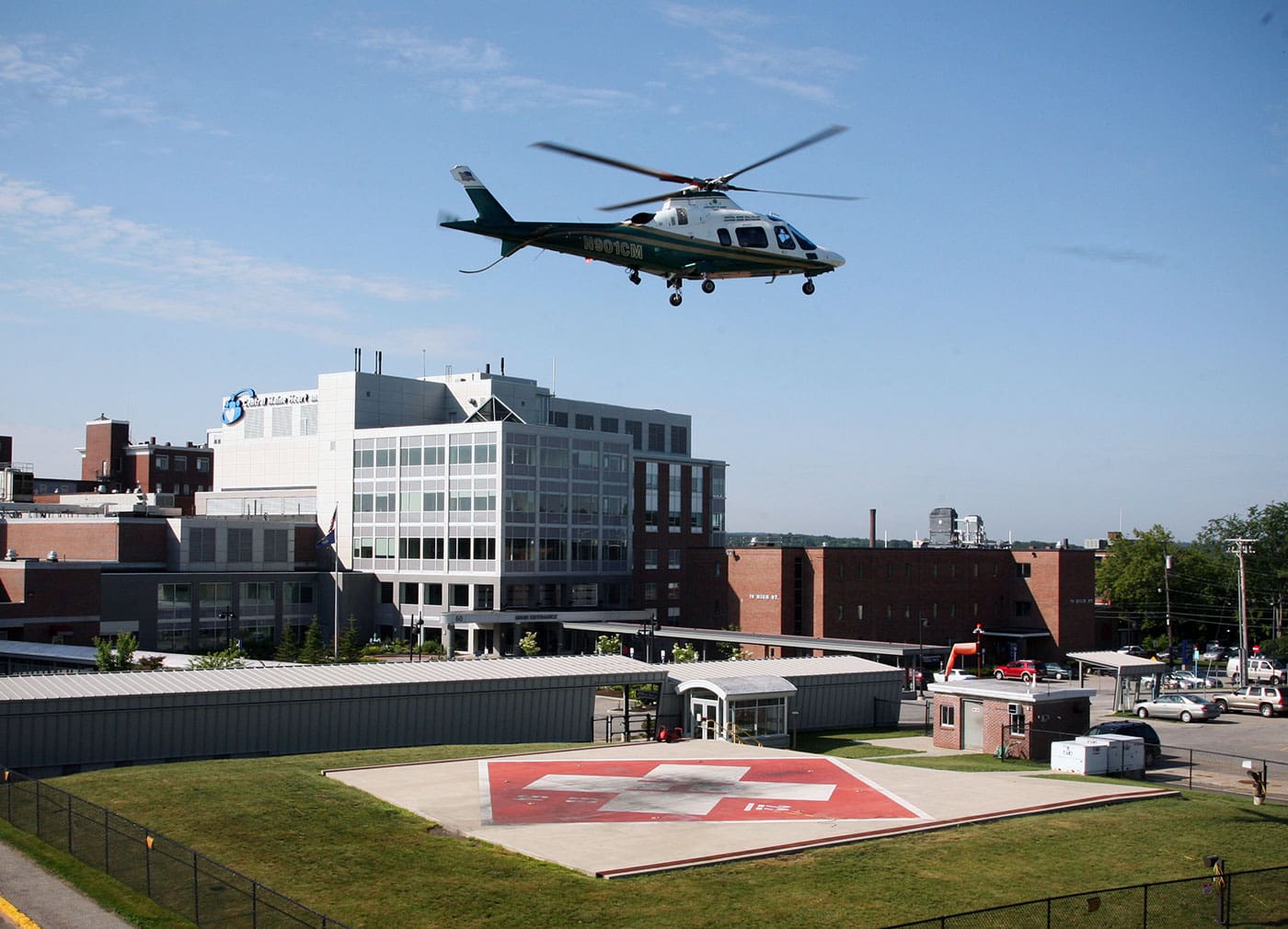
When LifeFlight of Maine began in 1998, there were only two hospital helipads in the state, no hangars, and extremely limited facilities such as fuel, weather, and instrument approaches at rural community airports. It quickly became clear that to operate an air ambulance service that would meet the needs of Maine and exceed safety standards, a much more comprehensive aviation environment was necessary.
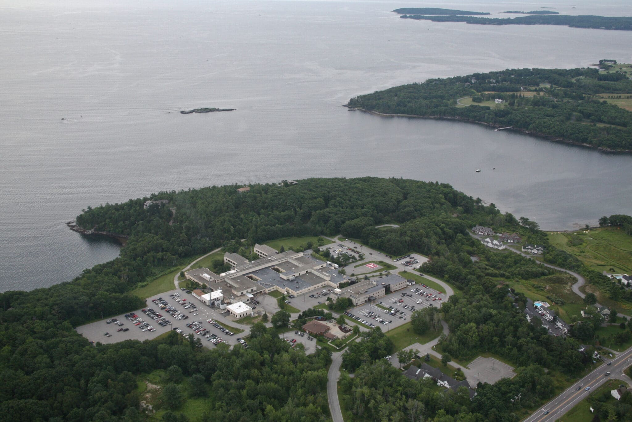
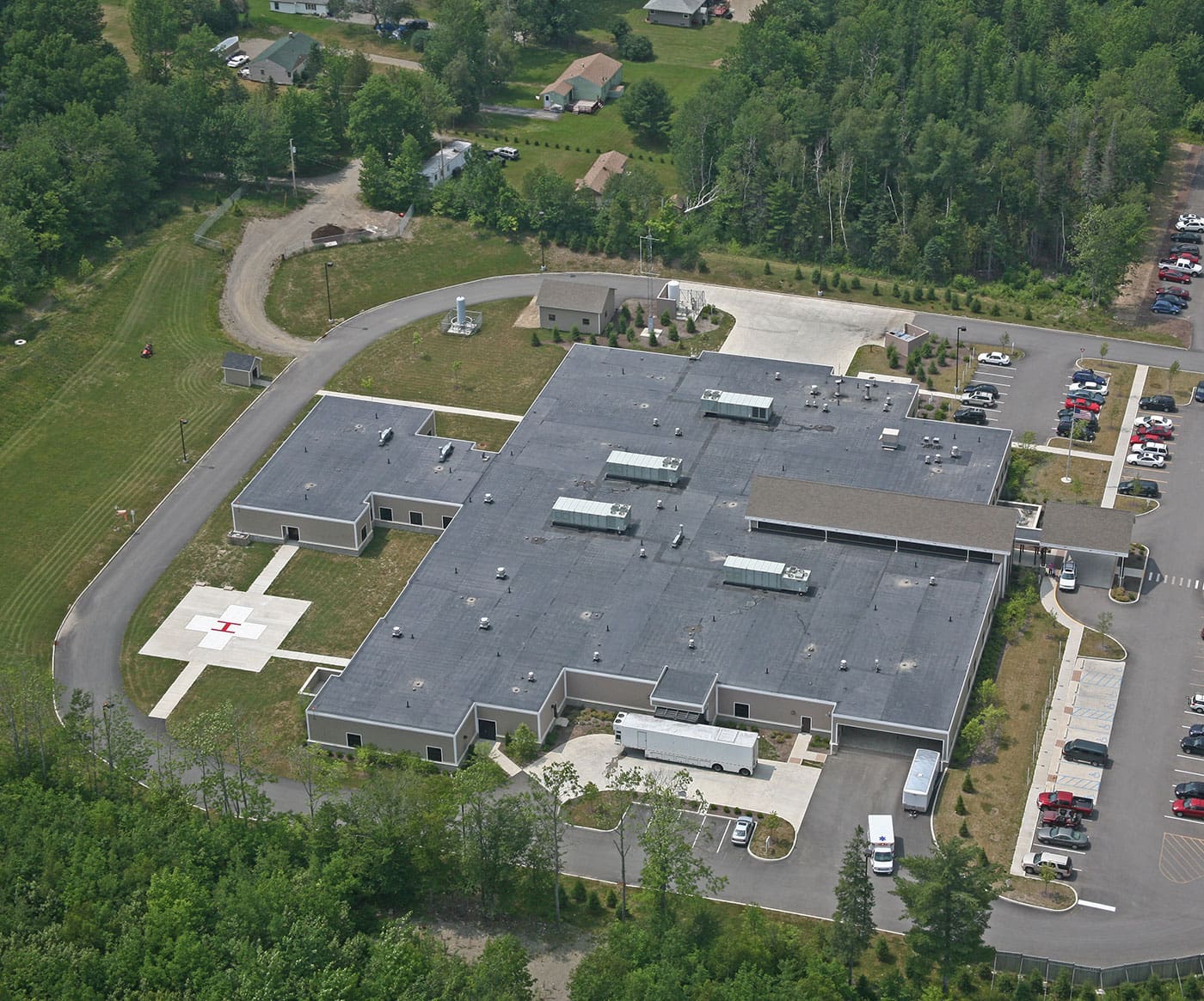
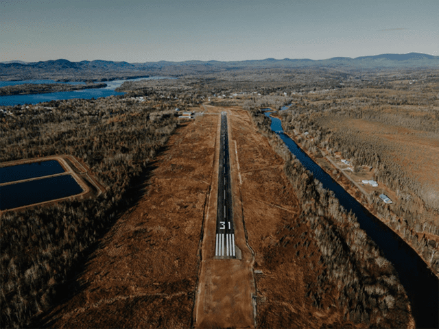
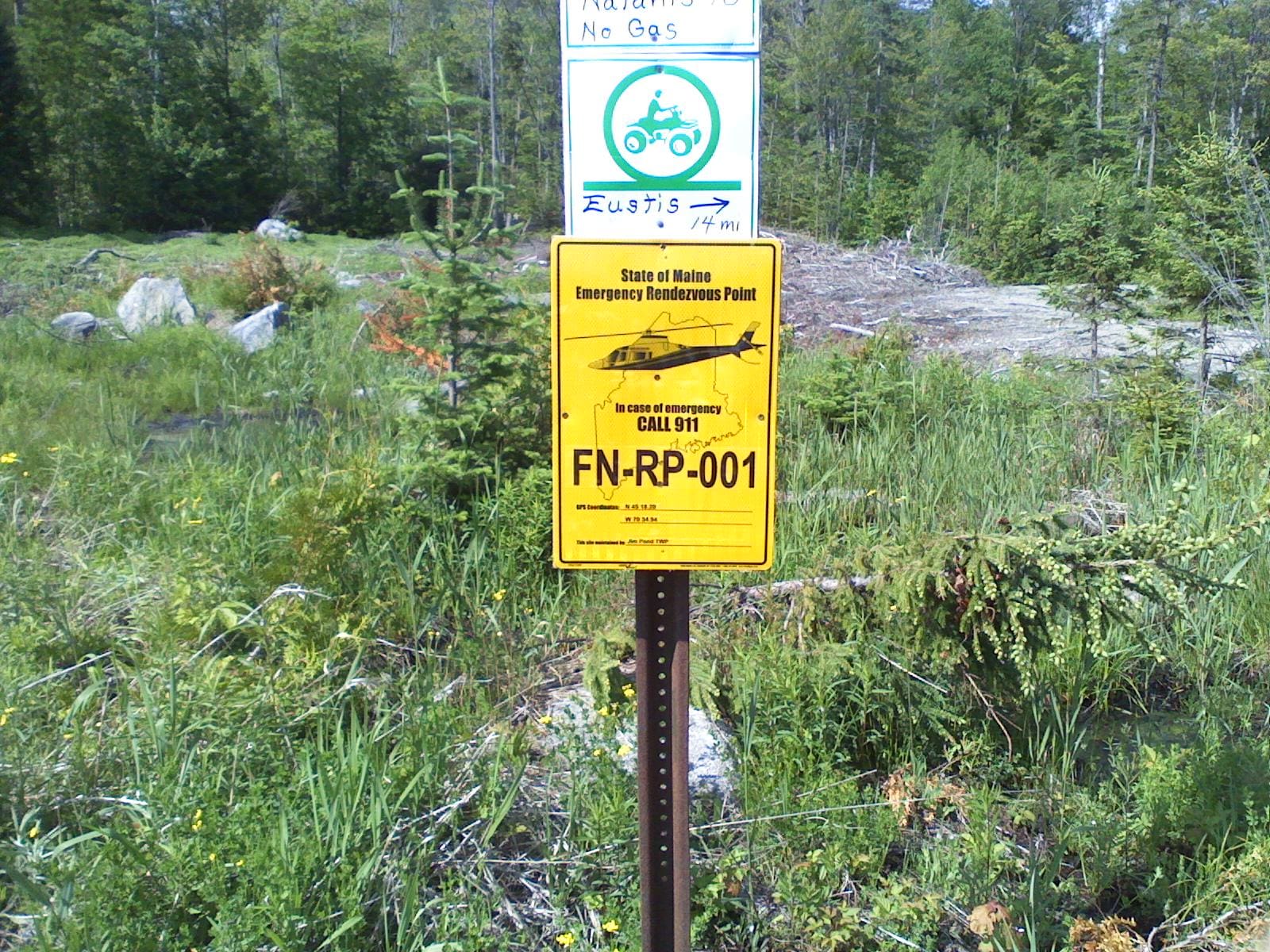
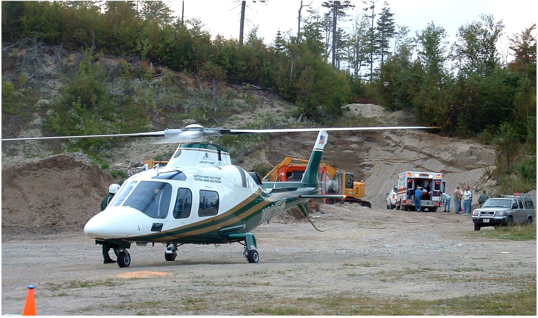
Now, there are 33 hospital-based and 10 community helipads. The state is also connected by more than 1,500 pre-designated emergency landing areas (PELAs) at safe places such as ballfields, fire departments, schools, mile markers on interstates, and industrial sites. These landing zones provide an incredible safety net for Maine’s tourism and logging industries, and each one is included in a LifeFlight database and available to 911 dispatchers.
Click on the images below to enlarge.
LifeFlight continually works to develop state-of-the-art aviation systems and infrastructure that support safe operations. This infrastructure directly impacts the organization’s ability to serve Maine, a state with a vast geography and widely varied and fickle weather conditions.
Aviation Technology
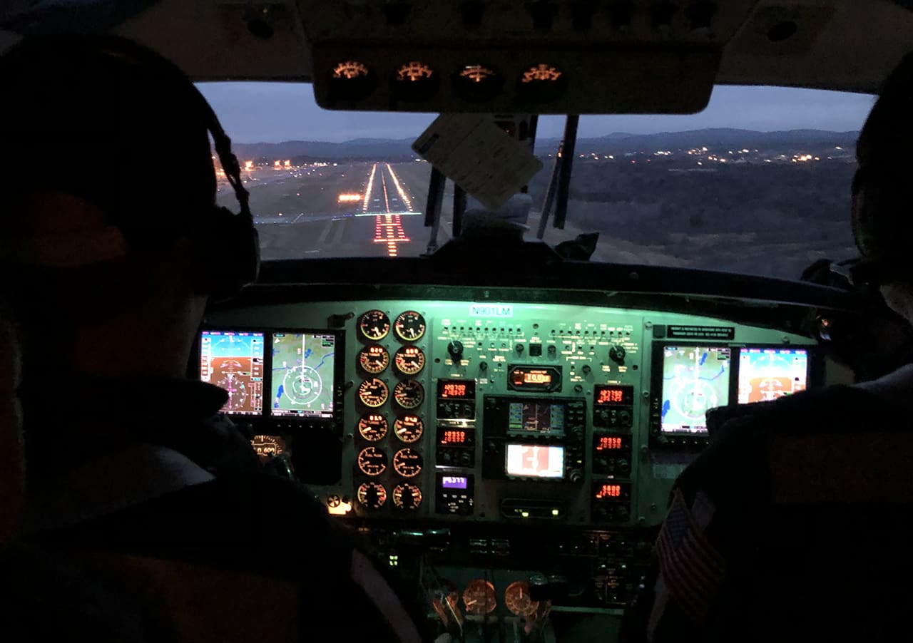
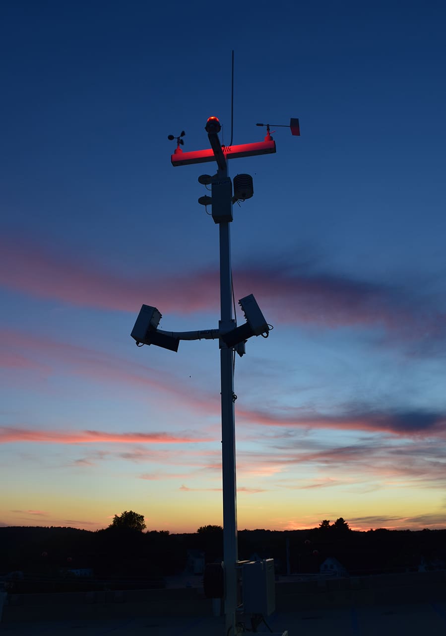
Maine has some of the most complicated aviation weather in the country. Safety is LifeFlight of Maine’s first priority, and the organization has built nationally recognized comprehensive aviation infrastructure including:
- Weather reporting stations
- Global positioning satellite navigation and communications
- Point in space precision instrument approach and departure procedures
- Precision performance-based navigation flight routes incorporating satellite technology and air traffic controllers at Bangor International Airport, the Portland Jetport, and the FAA Boston Air Traffic Control Center
To LifeFlight, being able to accurately understand and forecast weather along an array of waypoints is critical. LifeFlight has collaborated with local communities, the Maine Department of Transportation, and the Federal Aviation Administration on recent projects. One of those projects was the installation of 35 weather-resistant security cameras with infrared capabilities and internet feeds at airports across Maine. These cameras are supported by funding from a FEMA grant administered by the Maine Emergency Management Agency and serve both the public safety aviation and general aviation communities throughout Maine.
Click on the images below to enlarge.


Another exciting endeavor is LifeFlight’s continued collaboration with the FAA on the NextGen National Model Demonstration Project. The first route from Bangor to Bar Harbor has been approved with more routes to follow. The four-year project will build low-level intrastate precision-based flight routes and updated point-in-space instrument flight navigation procedures. These routes are designed for LifeFlight and eventually public safety helicopters; they will help increase aviation safety and reliability in marginal weather conditions. Click here to learn more about these efforts.
Drag the white line in the middle of the image to the left and right to see how LifeFlight has impacted aviation infrastructure in Maine over the years.
Navigating Maine
During its first two decades of service, LifeFlight worked with state government officials, the FAA, the USDA, and Maine Emergency Management to develop a comprehensive statewide aviation infrastructure. This includes hospital and community helipads, weather reporting capabilities, instrument approaches, and rural airport improvements. LifeFlight’s collaborative approach resulted in more than $25 million in federal funds and $5 million in state bond funding.
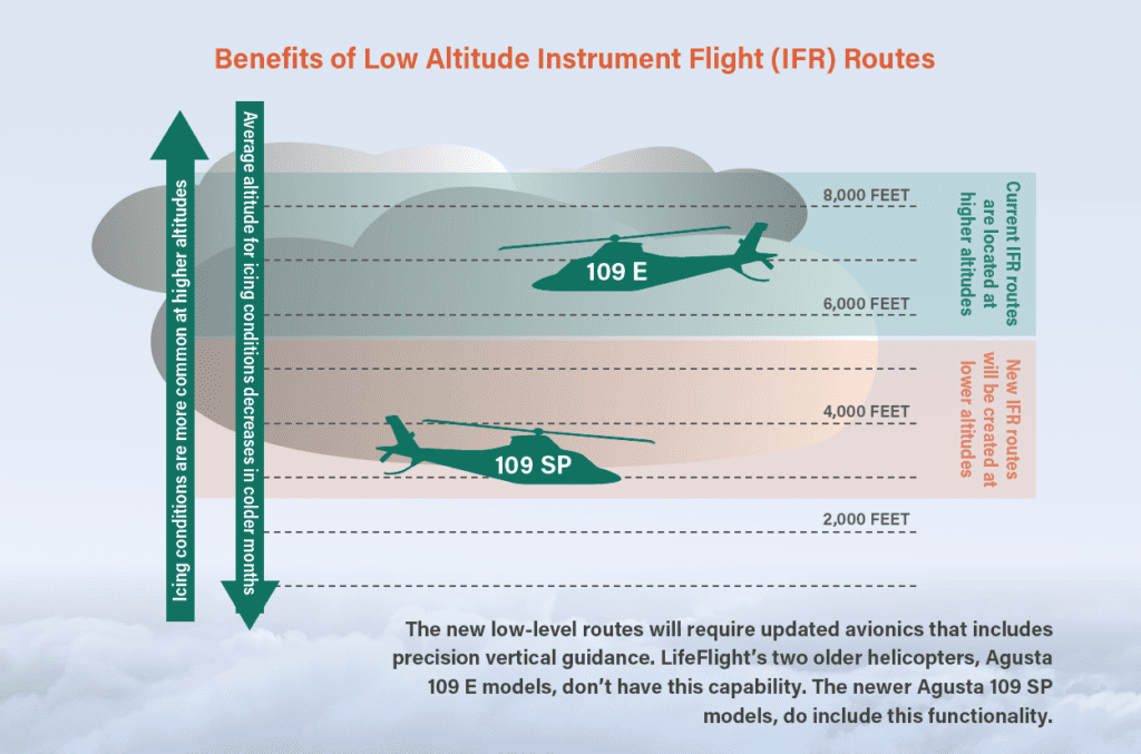
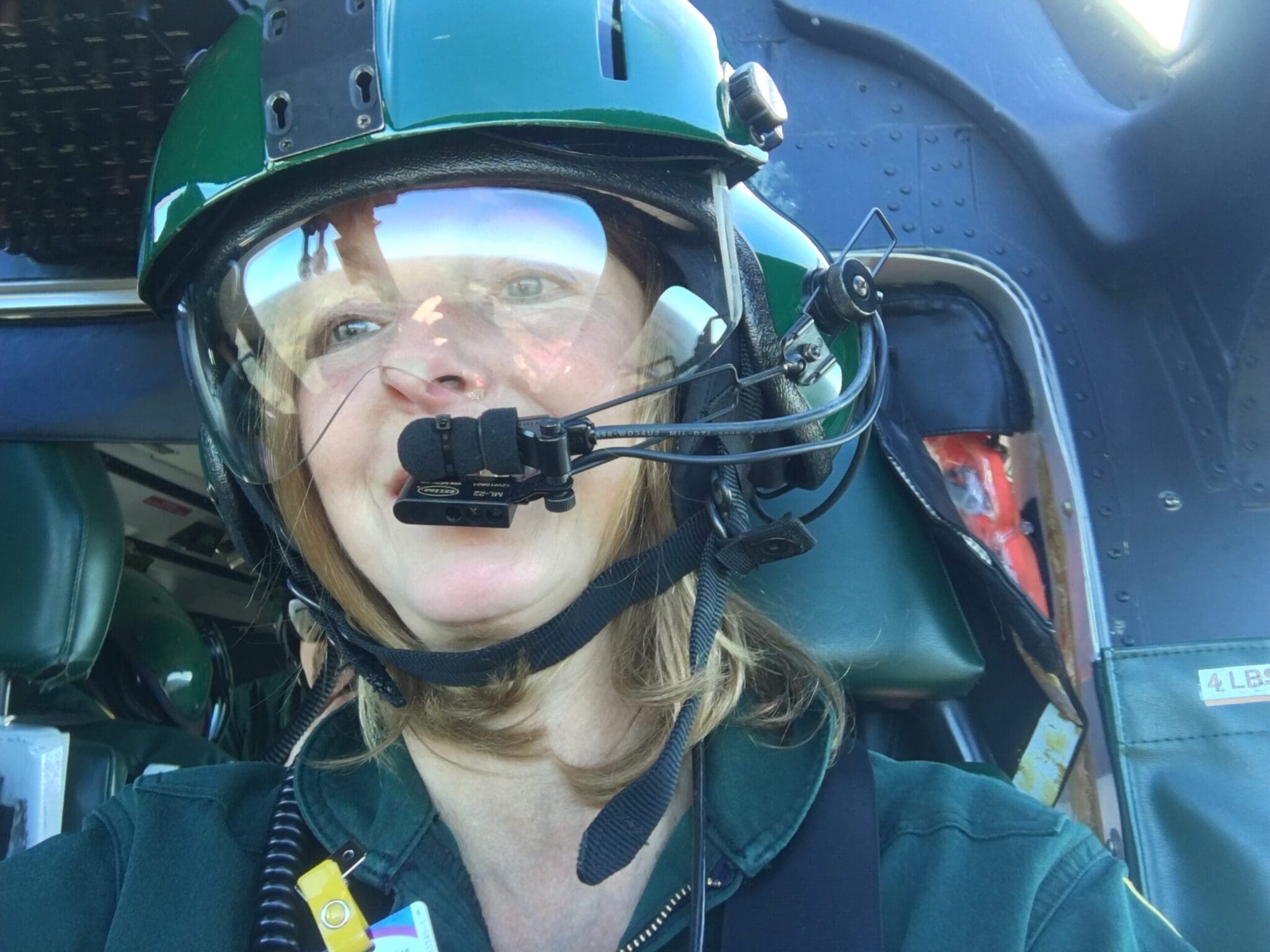
Operating helicopters and airplanes in Maine’s rugged geography has always been a challenge for LifeFlight, one that we’ve been tackling since day one. Challenges remain, however, and there are still patients who we can’t reach by air because of weather conditions like fog and icing. With support from the Federal Aviation Administration (FAA), we’re working to make that number much smaller. The effort is rooted in navigation and consists of three major components: the nationwide mandatory shift from ground-based to satellite-based navigation (GPS); the creation of lower altitude, more precise flight routes across Maine; and helicopters capable of operating in the new system.
Today’s airspace is primarily made up of defined routes that go from one ground-based navigation station to another, and whose coordinates are accessible by aircraft pilots and air traffic controllers (ATC). Think of these routes as tunnels through the sky, defined by radio signals or GPS coordinates along the way. Because monitoring of the routes by ATC is based on data provided by ground-based radar, these tunnels are quite wide and often at a high altitude where bad weather and freezing conditions are more common. Now, when a call for help comes in to LifeFlight, our helicopter pilots check the weather along the route to determine if the mission can be accomplished safely. For most missions, the helicopters must use these predefined instrument flight (IFR) routes to get from point A to point B, which means even though the weather at 3,000 feet is acceptable, we can’t accept the mission because we have to fly a route that takes us to 7,000 feet where the temperature and humidity are producing icing conditions.
The FAA’s NextGen Project
A few years ago, the FAA launched a multiyear modernization project aimed at moving all airspace infrastructure to a system that uses data provided by satellite-based GPS, which is much more detailed and accurate than ground-based radar. As the FAA implements this technology, new routes that are more precise can be created. Specifically, the new routes allow precision operations at lower altitudes where icing is less common, improving the safety and reliability of LifeFlight in more weather conditions. This new statewide network of low-altitude instrument flight routes will be the first of its kind in the nation. The FAA, which is developing the routes, expects the finished network will serve as a national demonstration project for other states. The recently passed Federal Budget and FAA Reauthorization provide $5 million to support the project. The provision was sponsored by Senator Susan Collins with support from the Maine delegation. Once the routes are complete, LifeFlight will be able to answer more requests by air because the helicopter can fly the mission at a lower altitude where the weather conditions meet our stringent safety minimums.
LifeFlight Access Program
LifeFlight Access Program
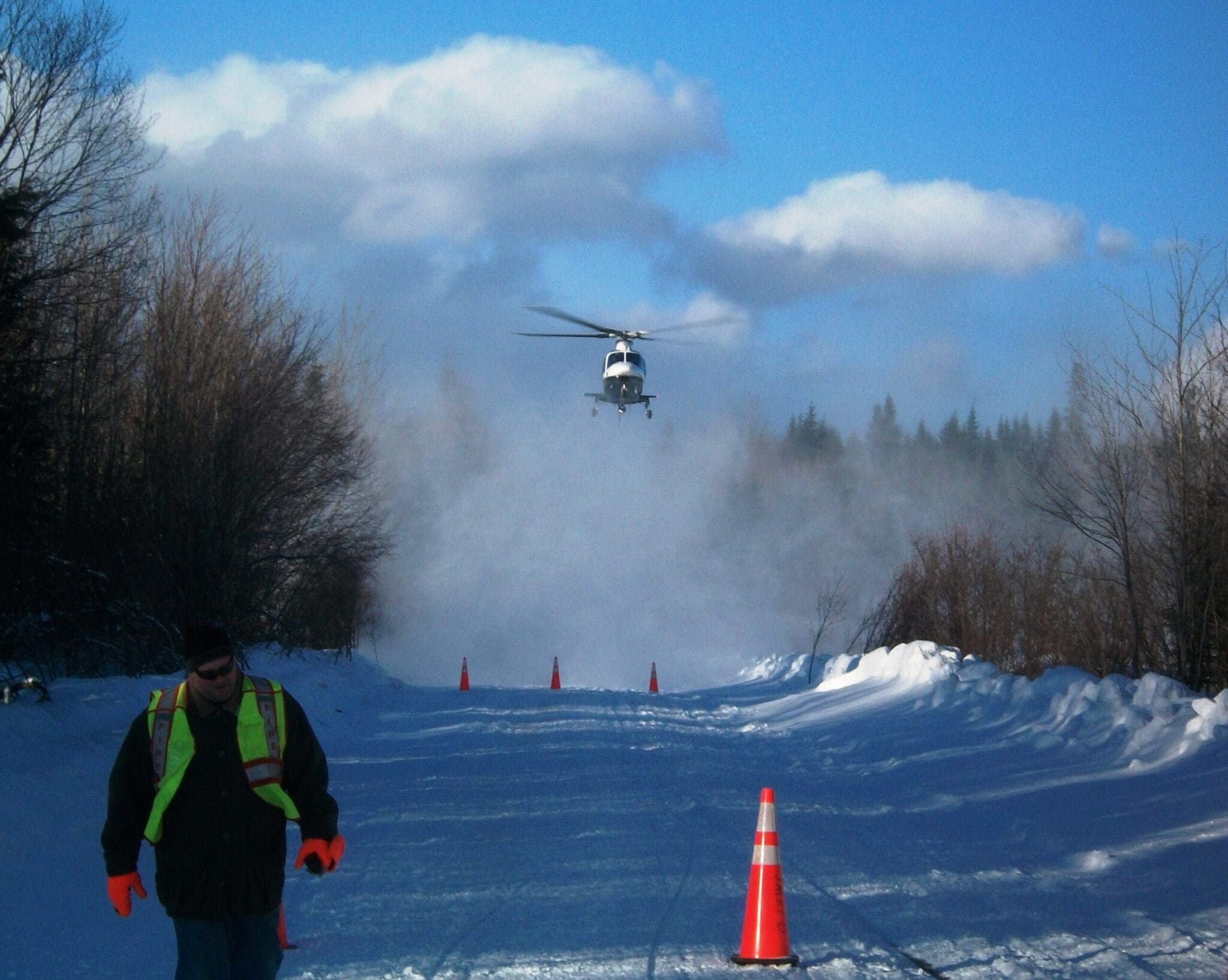
In an emergency, a good plan drives performance. While LifeFlight lands at emergency scenes with temporary landing zones regularly, establishing known landing zones with year-round access improves safety and continuity of care. LifeFlight maintains a database of thousands of remote landing zones around the state.
Communications
Communications
LifeFlight of Maine works closely with MedComm, a communications center located in LifeFlight’s facility at the Bangor International Airport. In addition to LifeFlight, MedComm also services three ground ambulance programs, dispatching nearly 50,000 calls per year. MedComm communication specialists arrange critical care transports with all Maine hospitals and also work closely with DHARTCOMM from Dartmouth-Hitchcock Hospital in Lebanon, New Hampshire, and Boston MedFlight Communications from Bedford, Massachusetts to provide transport to and from hospitals in New Hampshire, Vermont, and Boston.
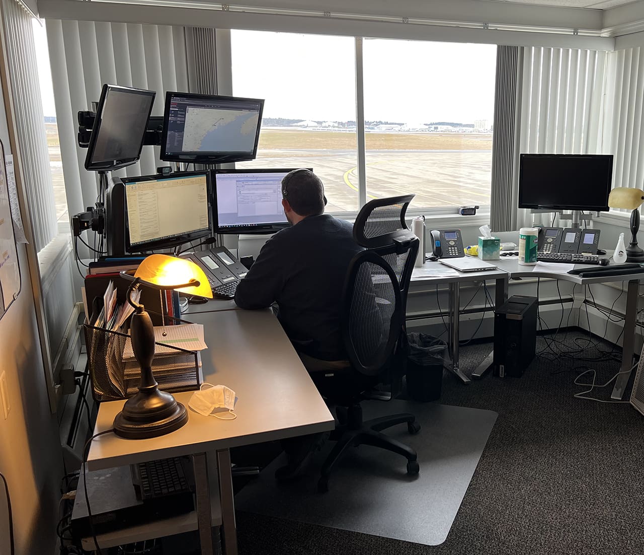
MedComm’s Communications Specialists (ACS) work with a variety of other communications centers including EMS, police, fire, warden, and forestry services to coordinate both interfacility and scene calls. The ACS helps to coordinate landing zones, provide transport to and from landing zones; locate temporary landing zones in rural areas for logging, ATV, snowmobile, or hiking accidents; and orchestrate the many services required to help critically injured patients in their time of need.
Inter-hospital requests:
MedComm receives requests from physicians at hospitals and outlying medical treatment centers and alerts the appropriate aircraft crew to start a transfer. Simultaneously, the ACS may link the referring physician to one of LifeFlight’s Medical Directors or Senior Clinical Administrators to determine whether the hospital needs the team while a receiving hospital is still unknown, the medical necessity of flying the patient versus transporting by other means, and to assure continuity of medical therapies.
In a parallel process, the pilot makes a weather-based decision on the safety of the flight, operationally scores the flight request for risk, and develops a flight plan. Once the pilot has accepted the flight request and medical necessity has been approved, the flight is launched. Using this parallel process assures rapid launch while maintaining tight oversight of medical necessity.
Scene Requests:
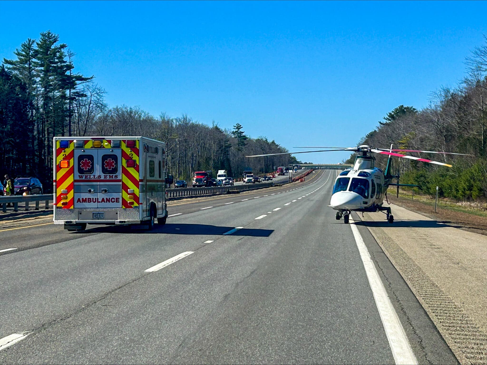
Due to Maine’s dispersed population and many square miles of rural area, time is of the essence for critical patients. LifeFlight of Maine responds to all scene calls it receives, safety and weather permitting. The Maine EMS Medical Direction and Practice Board have established a protocol in which trained EMS responders can request a LifeFlight helicopter direct to the scene or to intercept the patient at a pre-designated landing zone.
For scene requests that are greater than 25 miles from a base, the aircraft is launched at the request of regional or state police 911 dispatchers or fire/rescue first responders. The aircraft heads toward the emergency scene while EMS providers at the scene assess the patient. If it is determined that air transport is not necessary, the aircraft returns to the base. LifeFlight’s patient-centered policy is closer is better—we can always turn around.
