LifeFlight Access Program
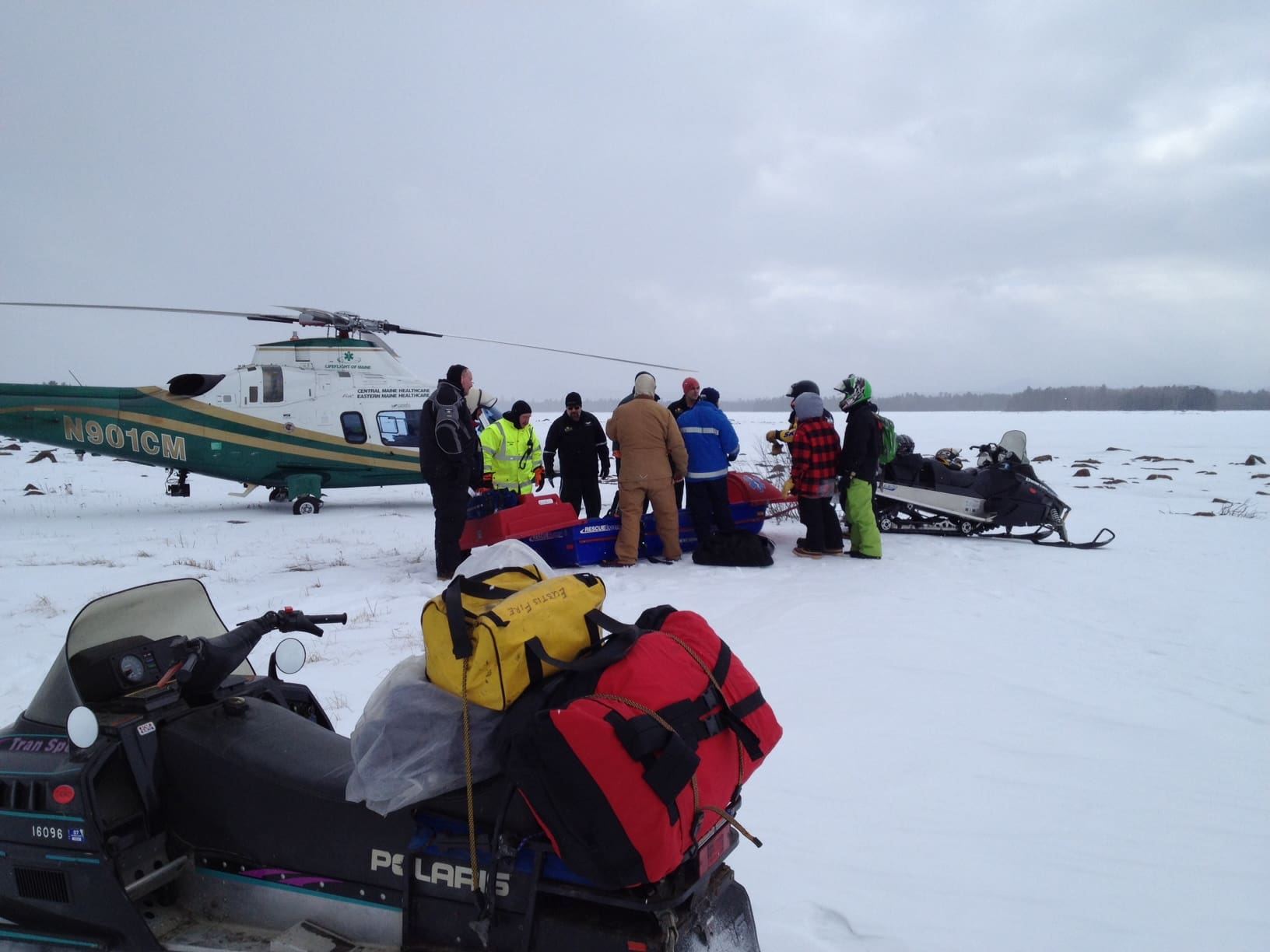
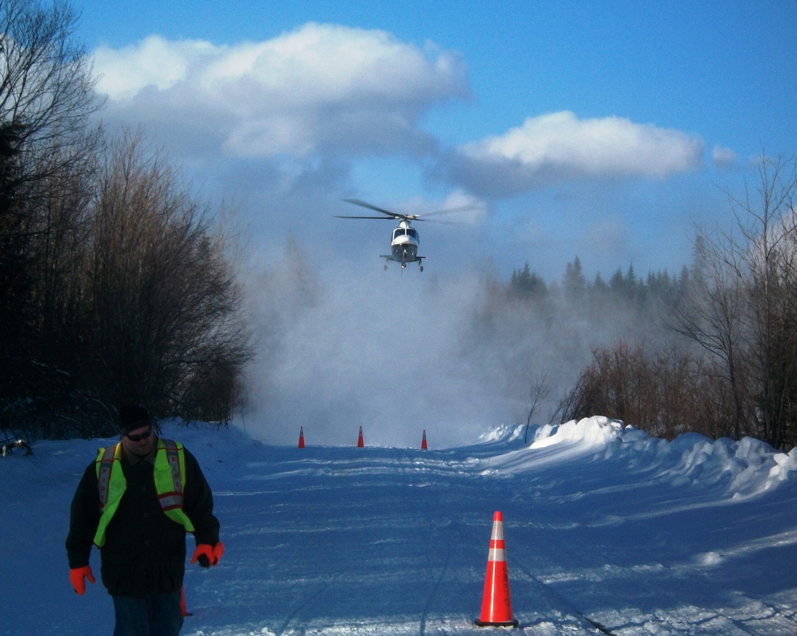
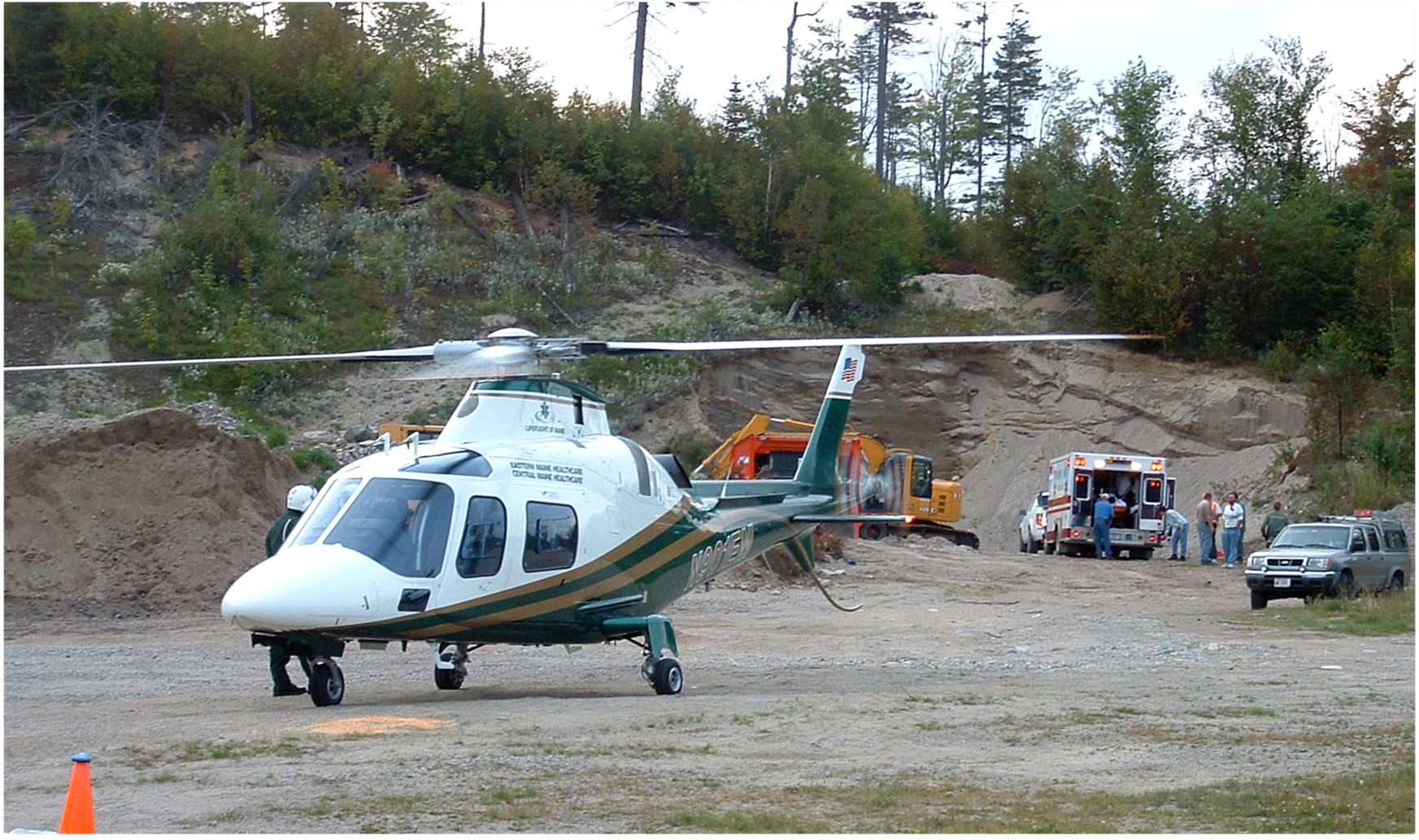
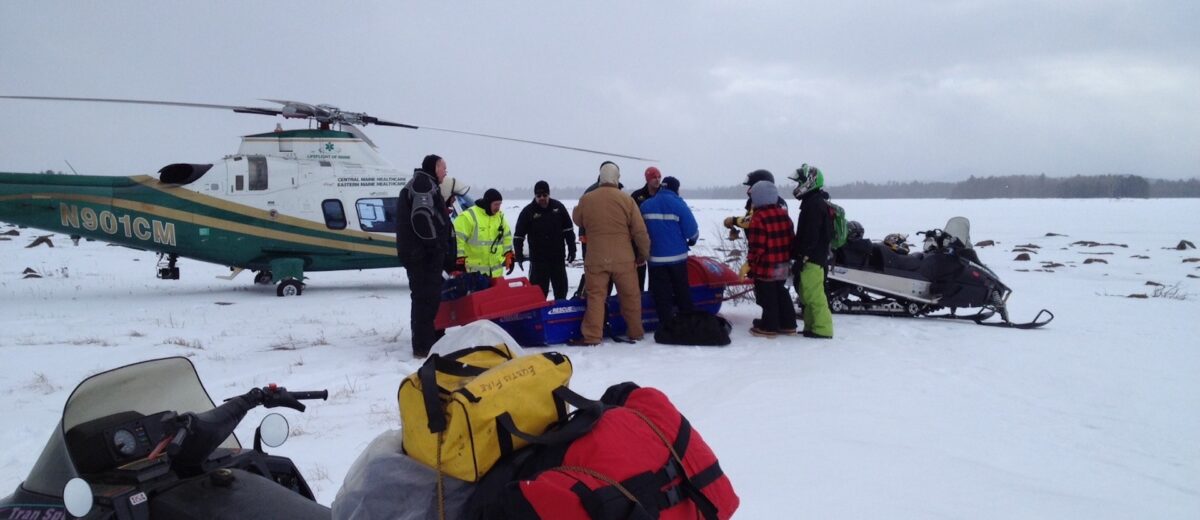
In an emergency, a good plan drives performance. LifeFlight of Maine regularly lands at emergency scenes with temporary landing zones, but establishing known landing zones with year-round access improves safety, efficiency, and continuity of care. LifeFlight maintains a database of thousands of known landing zones around the state and assists groups and individuals with other emergency preparedness efforts.
We register landing zones for towns, fire departments, EMS agencies, law enforcement, Search and Rescue groups, state and federal partners, recreational clubs, industry operations, community associations, businesses, and private landowners in remote locations. This network of Pre-designated Emergency Landing Areas (PELAs) ensures we have the physical access we need to respond to an emergency.
Knowing when and how to make use of a landing zone is just as important as identifying the site. We are happy to assist your group with short-term and long-term emergency preparedness planning, especially in the more remote areas of Maine. We have helped to create response plans for events, emergency procedures for remote communities, and Emergency Action Plans for remote industry groups.
All our partners on the ground are encouraged to participate in a Ground Safety and User Course to learn how to safely operate around an active landing zone. Information on our educational offerings can be found here. For more information on the LifeFlight Access Program, please contact Kyle Madigan at kymadigan@lifeflightmaine.org.
Landing Zone Registry
If you have identified a location that you think would be a beneficial Pre-designated Emergency Landing Area (PELA), please submit a request using the form below. Please submit once for each proposed landing zone. We will contact you to discuss your submissions.
All potential landing zones are carefully reviewed for accuracy, safety, and long-term maintenance plan. New submissions are checked against our current map to avoid duplicates. Records are subject to periodic verification, which may include contacting you in the future.
Latitude/longitude coordinates must use datum WGS 84, which is commonly used by GPS receivers, popular mapping applications, and cell phones. We use the Degrees Decimal Minutes (DDM) format, and we can convert yours if you aren’t sure.
We provide signs for some of our remote sites. If you believe your location would benefit from a sign, please include that request in your submission.
Please include photos with your submission, so we can get a perspective of the site from the ground.
You can access information on how to create a landing zone here.